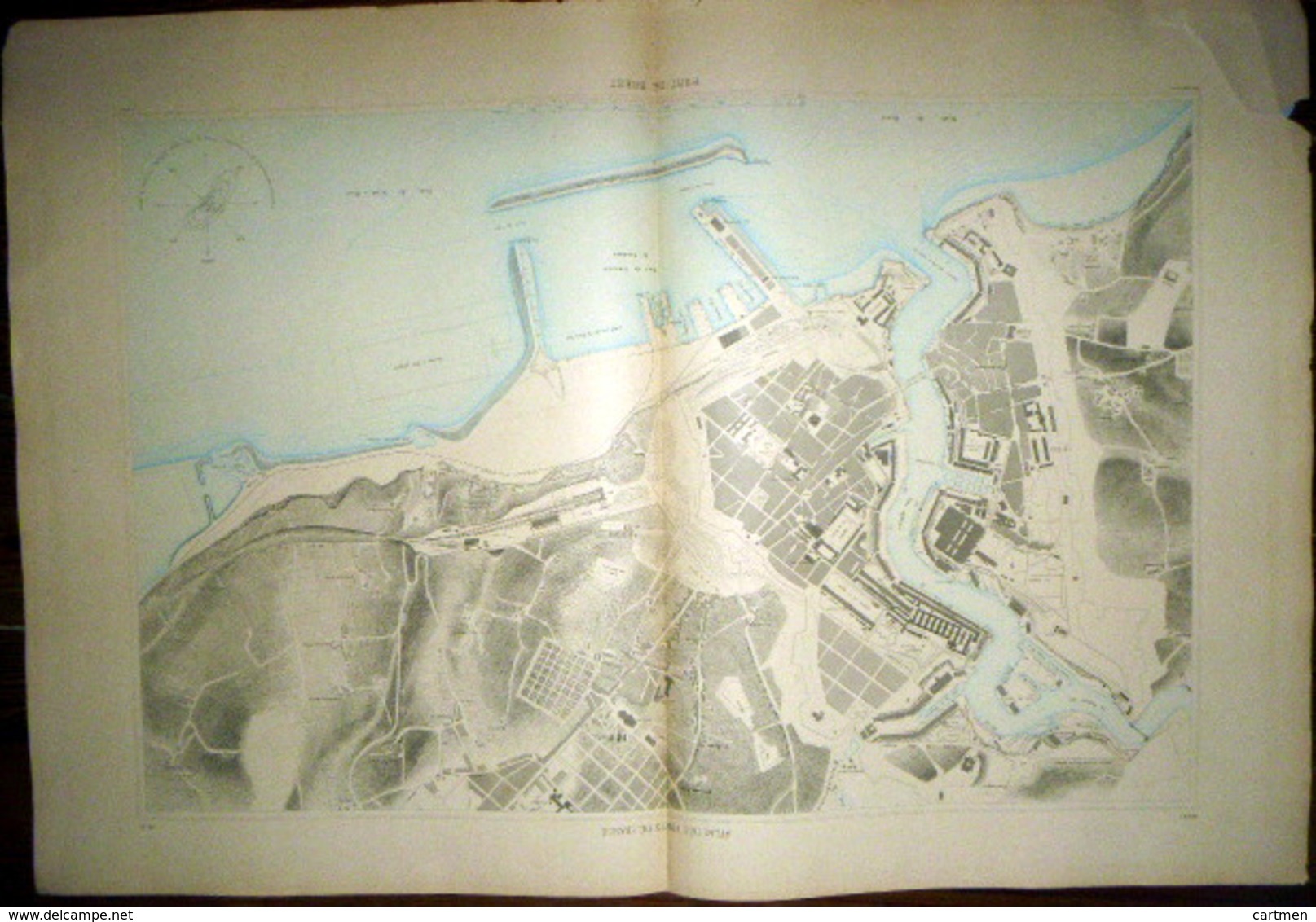
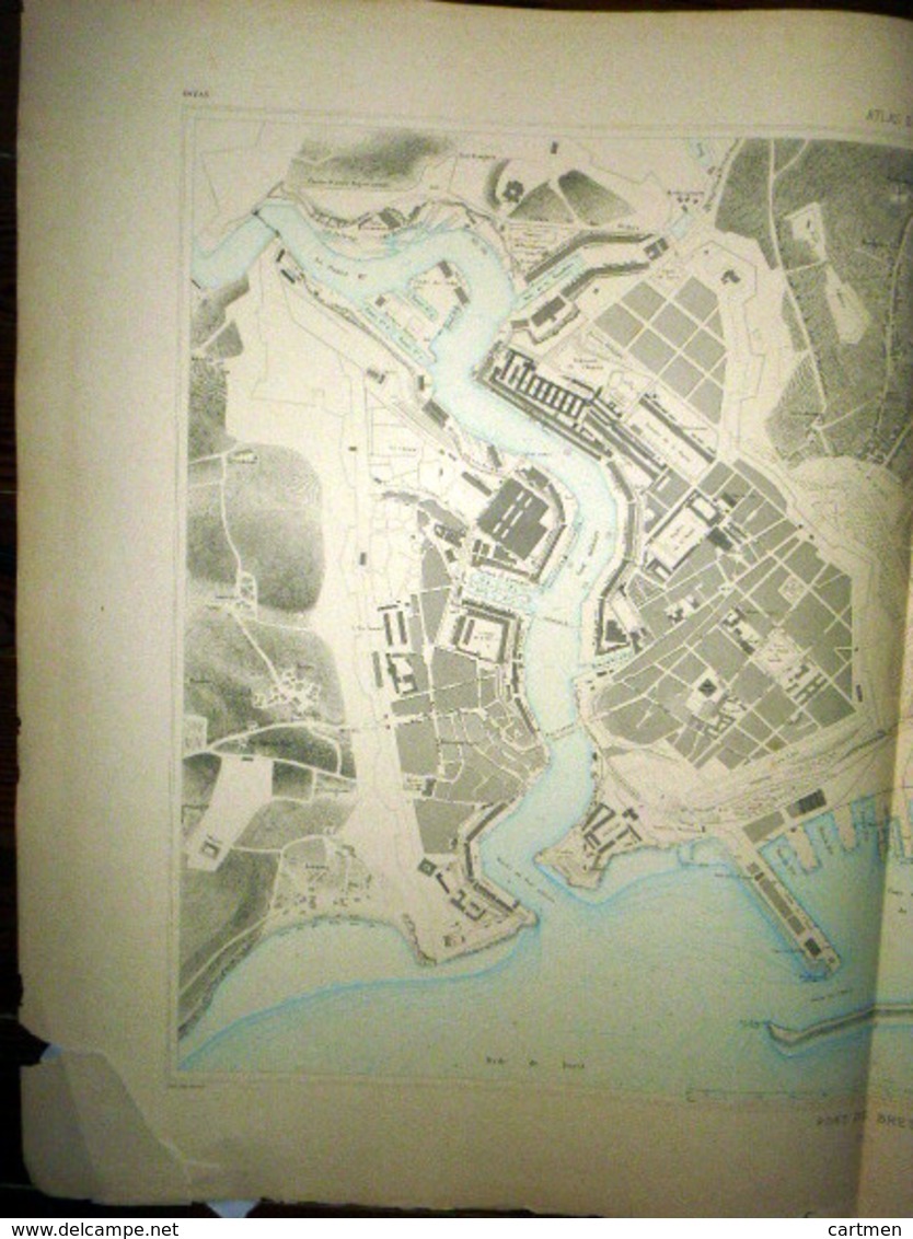
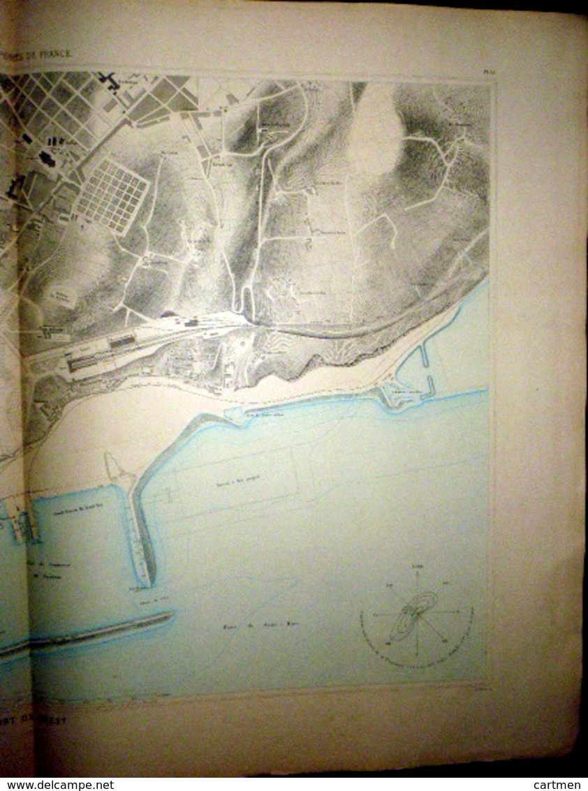
29 BREST DOUBLE PLANCHE PLAN DU PORT ET DE LA VILLE EN 1886 DE L'ATLAS DES PORTS DE FRANCE 98 x 66 cm

29 BREST DOUBLE PLANCHE PLAN DU PORT ET DE LA VILLE  EN 1886 DE L'ATLAS DES PORTS DE FRANCE 98 X 66 Cm - Carte Nautiche
Posiziona il mouse sull'immagine per zoomare Clicca per ingrandire l'immagine Clicca per avviare il video

Unisciti alla community di collezionisti!

Registrati Collegarsi