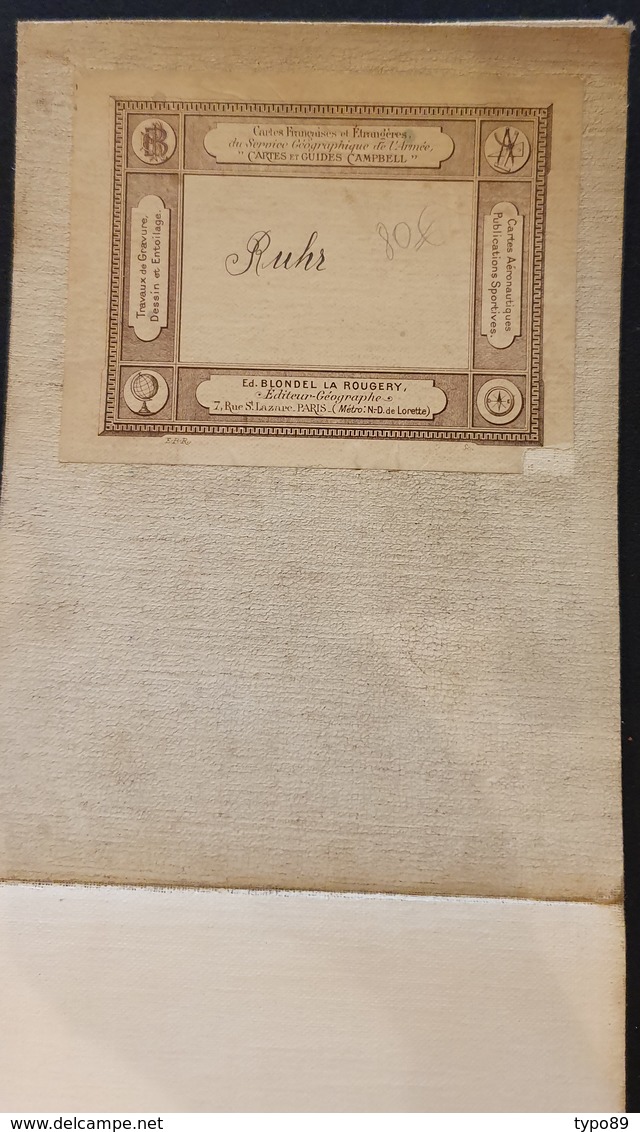
217 - Carte de la Ruhr industrielle et politique - Blondel la Rougery - 1/150000è - 1948

217 - Carte De La Ruhr Industrielle Et Politique - Blondel La Rougery - 1/150000è - 1948 - Maps/Atlas
Place your mouse over the image to zoom Click to zoom Click to start the video

Join the collectors community

Register Login